
Sources for Ottumwa Neighbors
No single public roll lists every person around an Ottumwa address. Wapello County map and tax systems are strongest for parcels and recorded owners. The voter tool verifies one known person through several identity fields, not a whole block. Historic directories show dated subscribers, while Main Street Ottumwa covers a downtown district rather than every neighborhood. Match the source to the question.
| Block source | What it can show nearby | Access path |
|---|---|---|
| Beacon or CAMAvision GIS | Parcel shapes, linked IDs, roads, municipal and map layers | County real-estate mapping page or GIS office |
| Wapello Assessor | Current situs, owner mailing field, value and property traits | Online search after consent or Assessor counter |
| Auditor and Recorder | Plats, transfers, legal descriptions and recorded parties | Courthouse, index books and Iowa Land Records |
| Iowa voter lookup | Status and polling details for one known voter | Identity-based online form |
| Historic directories | Dated subscribers and businesses near an old address | Library, Genealogical Society and Library of Congress |
An owner may live elsewhere, and a resident may not own the home. Mailing and situs addresses can differ. A dated phone listing is also not proof of today’s occupant.
Map an Ottumwa Neighbor Block
Wapello County’s mapping page points to Beacon, while the Assessor site links CAMAvision. These viewers are related tools, not identical displays. Start with the subject parcel and move only to the lots that touch it or face it across the road. This keeps the Ottumwa neighbors search focused on the immediate block.
- Find the subject address and confirm its parcel ID, situs, street label, and retrieval date.
- Click each parcel on the four sides. Record parcel IDs and which edge, road, or alley separates them.
- Open the linked property record. Keep owner name, owner mailing address, and parcel situs in separate fields.
- Use the legal description or plat when map geometry is unclear. Ask the Auditor or Recorder for the controlling record.
- For every parcel along a named road, switch to the Ottumwa street directory instead of widening this block method.
A useful result preserves the selected parcel, map date, visible street or right-of-way, and the source of every owner field. Never copy the data from a nearby lot after an uncertain click.
Ottumwa Neighbor Parcel Viewers
The CAMAvision map is one official local route for linked parcel geography. The successful manifest screenshot shows that viewer.
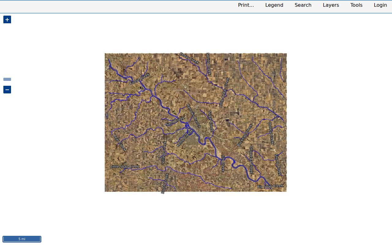
The county GIS department also publishes municipal boundaries, hydrology, roads, bridges, recreation, and database-linked parcel layers. These help explain whether nearby lots sit across a river, road, or city line. They do not establish a surveyed boundary. Recorded plats, deeds, contracts, and surveys carry more detail.
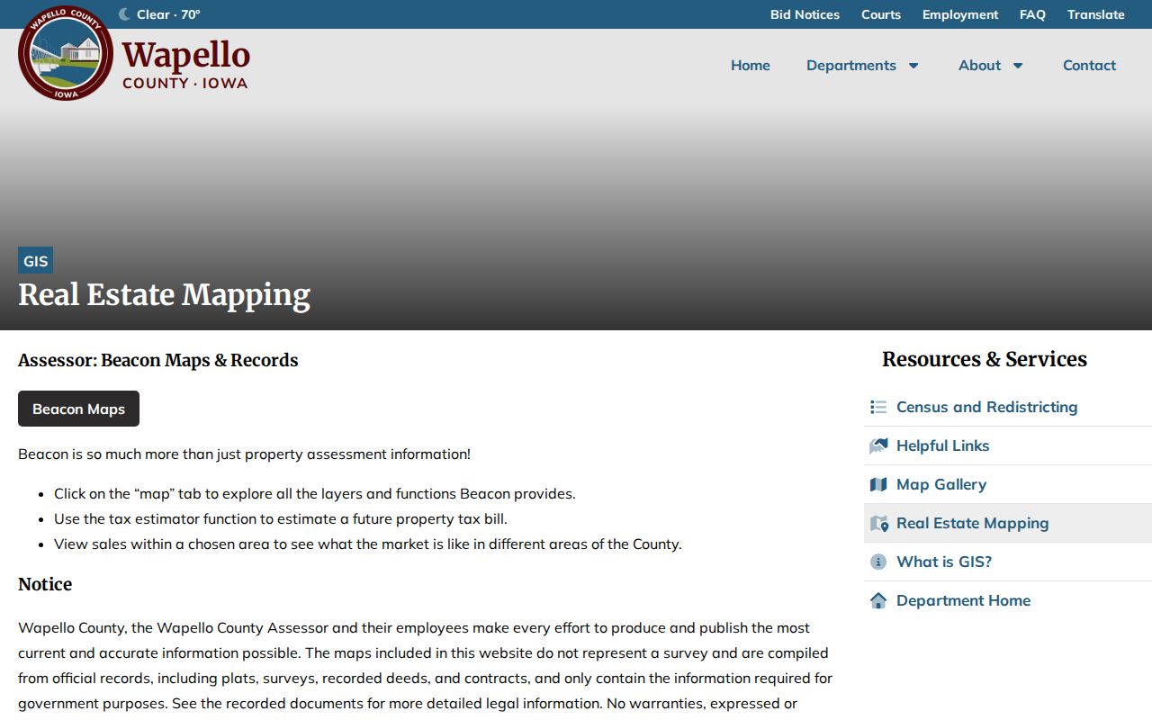
The Wapello County Real Estate Mapping page explains that division and links the county tools. Its successful image offers the source context for the viewer.
Questions about value or property traits go to the Assessor. Boundary, legal-description, and ownership questions go to the Auditor.
Ottumwa Neighbor Maps Aren't Surveys
County maps compile information from plats, surveys, deeds, contracts, and records needed for local government. A parcel polygon is a practical index to those sources, not a replacement for them. Screen scale, generalized lines, or an old layer can make a fence, driveway, or structure appear to cross the wrong lot. Do not use the viewer to settle a legal boundary dispute.
For a missing or unclear layer, contact Wapello GIS at 641-683-0017. The Auditor handles plats and transfer records at 641-683-0014, and the Recorder supplies recorded instruments at 641-683-0045. All three functions are tied to the courthouse complex at 101 W 4th Street, but they remain separate custodians.
Note: Save the parcel ID before calling; a precise identifier is far more useful than asking for every record on a block.
Ottumwa Owners and Neighbors Differ
The Assessor entry can show a parcel’s physical address and an owner’s tax-mailing address. A matching mailing and situs line may suggest owner occupancy, but it does not prove who is inside the home on a given date. A different mailing line may belong to an owner who lives elsewhere, a trust, or another recorded party. The source must remain labeled as an ownership record.
- Parcel
- A mapped unit of land linked to local tax and legal records.
- Situs address
- The physical address assigned to the parcel.
- Mailing address
- The address where the owner receives tax mail, which may be elsewhere.
- Plat
- A recorded map describing lots, blocks, streets, and other land divisions.
Building and code files may add dated permit, inspection, demolition, nuisance, or applicant clues. Those roles are not household membership. Name the role and date whenever such a file is used.
Ottumwa Neighbor Voter Boundaries
The Iowa voter lookup requires first name, last name, ZIP, house number, and full birth date. That design checks a known registration and polling place. It does not provide an address-only or block browse. Polling sites can also change, and the Wapello County Auditor finalizes local election details.
Iowa Code section 48A.40 limits full-list requests to stated purposes, removes Social Security and state ID fields, and prohibits commercial use. Safe at Home provides confidential voter handling and substitute addresses for eligible people. Never try repeated name or birth-date guesses to expose a protected address.
A precinct result describes election administration, not how anyone voted. Keep registration, parcel ownership, and current occupancy as three different claims.
Ottumwa Neighbor Community Sources
No official citywide neighborhood-association registry or public household roster was located. The city’s 2040 planning work supports neighborhood organization as a civic goal, but that does not create a directory. Use confirmed groups only within their real scope.
Main Street Ottumwa
Downtown district directory, map, events, and committees. 334 E Main Street, 641-814-5225. It is not citywide.
Historic Preservation Commission
City meetings, the September 2024 preservation plan, and leads for 24 National Register items. It identifies properties, not residents.
Ottumwa Public Library
Newspapers, historic directories, yearbooks, and reference help at 102 W 4th Street, 641-682-7563.
The Main Street Ottumwa site is the best documented district-level directory in the research, so it should not be stretched to blocks beyond downtown.
Historic Ottumwa Neighbors by Block
Library of Congress telephone reels cover Ottumwa issues from 1933 through 1961 in several runs. The inspected 1933 page mixes residences, groceries, clinics, and hotels under one exchange and uses “Res” to mark a residence. OCR may misread short street forms, initials, and columns, so confirm every hit on the page image.
The Ottumwa Public Library offers newspaper microfilm from 1871 with gaps and a digital archive with title-specific runs through 2025. Library staff can help retrieve an article. The Wapello County Genealogical Society adds city directories, obituaries from 1892 forward, cemetery records, census sources, school annuals, church material, and family histories.
Those sources can rebuild a dated block, but not today’s household. Preserve the year, original street form, source title, and page. Compare the result with plats or Sanborn maps when the block shape has changed.
Official Ottumwa Neighbor Records
Commercial neighbor tools may merge old addresses, phone data, and private files without showing when a field changed. Official records are narrower, but each has a named custodian, date, and correction route. That makes them better for a careful block question.
| Source type | Strength | Main limit |
|---|---|---|
| County parcel and deed records | Traceable parcel, owner, legal and transfer facts | Ownership is not occupancy |
| Library and archive sources | Dated page images and local context | Historical snapshot only |
| Commercial category | May combine many kinds of data | Unclear dates, sources, and correction paths |
When a county field looks wrong, contact the office that maintains it. When OCR is wrong, check the scan and ask the library or archive about catalog correction.
Protect Ottumwa Neighbors' Privacy
Utility, delivery, and private household details are not public block directories. Public files can also suppress sensitive identifiers, confidential court material, protected voter addresses, and entitlement-controlled vital records. Iowa Safe at Home offers substitute-address and confidential voting services for eligible participants. Protect Our Protectors serves protected officials and families through a related state resource.
Keep only what is needed for a lawful personal task, such as learning the parcel layout, reconnecting with someone you already know, checking a seller’s claim, or researching local history. Do not publish full birth dates, ID numbers, financial data, signatures, or a protected address.
Lawful use. Ottumwa neighbor records must never be used to watch, harass, intimidate, or harm anyone. Stop when a safety program or confidentiality rule applies.
For a record that is not online, use a narrow Iowa Code chapter 22 request to the City Clerk or county custodian. Ask for one record series, address or parcel, date range, and format. A request should not seek a private household roster that the office does not keep.
Corrections follow the source. The Assessor can address a property-card field, GIS can review a map layer, and the Auditor or Recorder can identify the controlling plat or deed. A library can correct catalog text or help interpret faulty OCR, but it cannot erase the original historical page. State privacy rights for qualifying private data systems do not create a general deletion right against a lawful Iowa public record. Ask the custodian which confidentiality or correction rule applies before sharing any block detail.