
Walk an Ottumwa Street Record
Begin with the full current street line. The first goal is not to name every person at the site. It is to identify the correct parcel and record the situs address, which means the physical address assigned to the land. Wapello County supplies several links in a careful chain. An assessor card describes the parcel for assessment, a map places it, and a recorded instrument documents a legal transaction. A dated phone book, newspaper, or election lookup answers a different question.
This order keeps an Ottumwa street directory search from merging owners, mail recipients, and occupants. Save the date of each search and the exact address form used.
- Normalize the mailing line, then locate the parcel through the Wapello County Assessor or GIS.
- Copy the parcel ID, situs, and legal description. Inspect nearby polygons only after the subject parcel is clear.
- Use the Auditor’s plat and transfer material to resolve a street-number or legal-description mismatch.
- Carry the owner name and legal description into the Recorder indexes and Iowa Land Records.
- Check a dated directory, newspaper, or individual voter tool only for the narrow fact that source supports.
Ottumwa Assessor Search Screen
The Wapello County Assessor Real Estate Search begins with a Public Information Disclaimer and requires consent before search controls appear. The inspected source confirms urban or rural residential and commercial or industrial classes, plus links for sales, comparable buildings, permits, credits, and exemptions. It does not confirm the exact fields shown after consent. Do not claim that an owner, ZIP, parcel, or legal-description field exists until the live screen displays it.
The successful manifest capture shows that public entry point. It is the right visual start for an Ottumwa street directory search, but not proof of any parcel result.
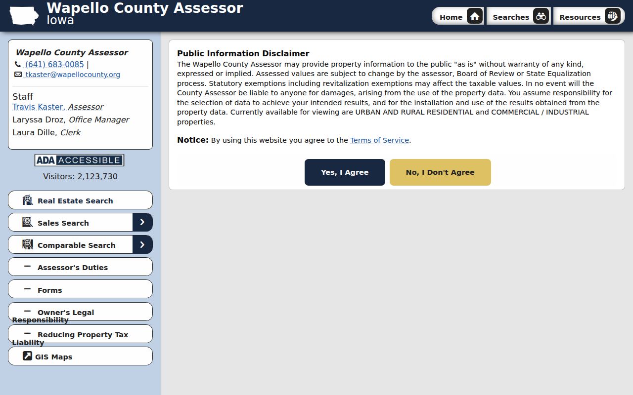
The consent screen also explains why values can change through review, equalization, exemptions, or revitalization. An assessment is not a deed, and the record date should stay with every copied value.
| Search detail | Research status | Safe use |
|---|---|---|
| Public disclaimer | Confirmed | Read and accept before searching |
| Property classes | Confirmed | Distinguish residential from other land |
| Sales and comparison links | Confirmed | Use as assessment leads |
| Exact post-consent fields | Not confirmed | Record only what the live form shows |
Map Ottumwa Streets by Parcel
Wapello County provides two map routes. The Real Estate Mapping page describes Beacon layers, a tax estimator, and sales within a selected area. The Assessor also links CAMAvision maps. Parcel features can connect geometry to database information, while county layers include roads, municipal boundaries, water, bridges, and recreation.
The county page is a useful gateway to those tools.
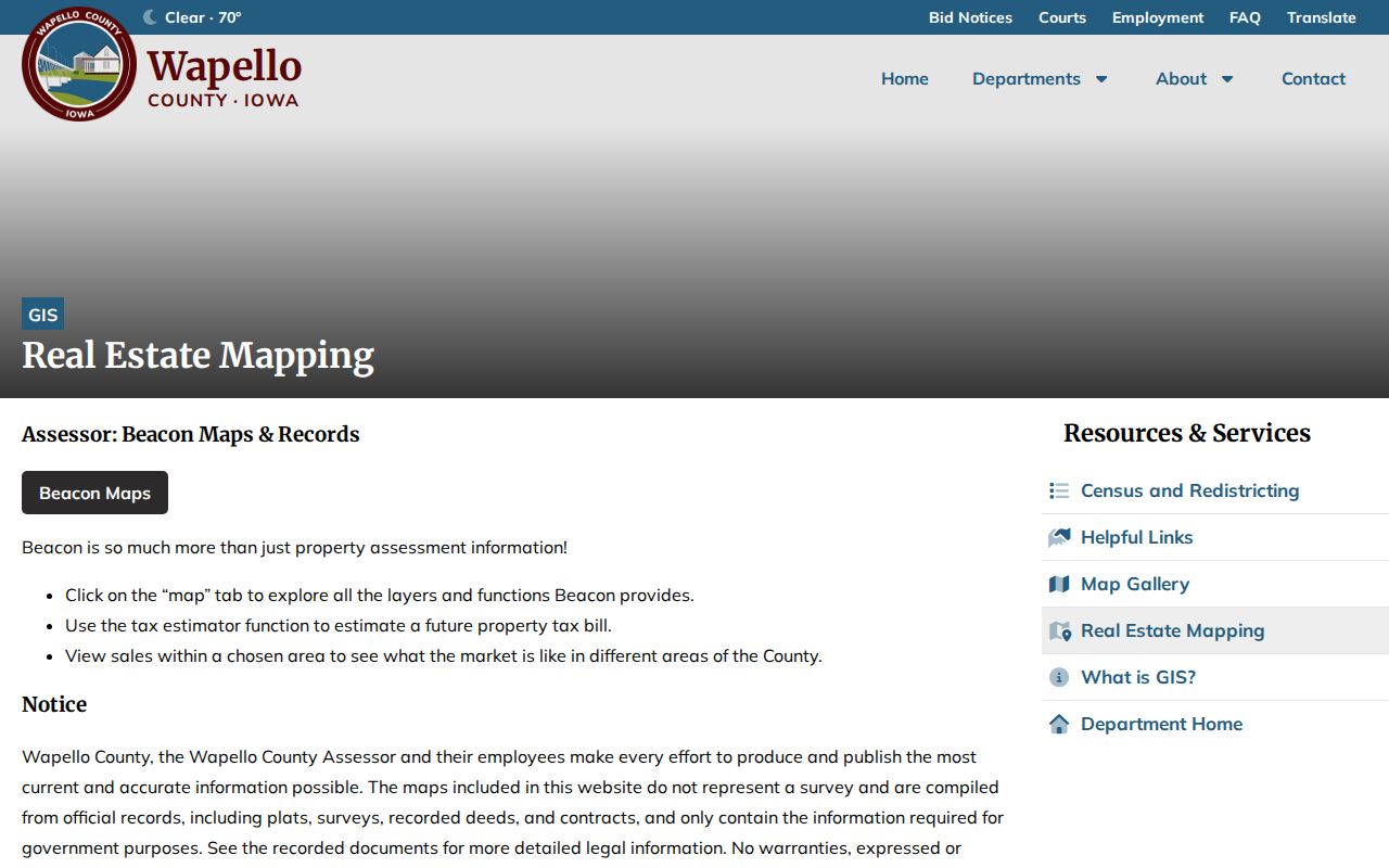
Use the map for placement and linked IDs, not as a survey. A recorded plat, deed, or contract controls legal detail. Value questions go to the Assessor; ownership, plats, and boundary records route to the Auditor or Recorder.
The CAMAvision capture shows the separate parcel-viewer route.
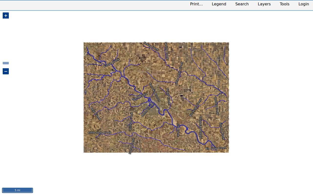
Keeping the displays distinct prevents a map estimate or neighboring click from being copied as the subject parcel’s record.
Ottumwa Records Keyed by Address
No single Ottumwa street directory proves ownership and occupancy. Each address source answers a limited question. The strongest result joins records by parcel ID, legal description, date, and exact address spelling while preserving those limits.
| Ottumwa source | Keeper | Street fact | Access |
|---|---|---|---|
| Assessment record | Assessor | Situs, class, value, traits, sale or permit leads | Online, counter, phone, email, request |
| Parcel map | GIS | Shape, ID, roads, boundaries, linked layers | Beacon, CAMAvision, office, phone, email |
| Plat and transfer file | Auditor | Addition, lot, block, transfer, deed proofing | Counter, phone, email, written request |
| Recorded instrument | Recorder | Parties, type, book/page, legal trail | Indexes, Iowa Land Records, counter, mail |
| Permit or code file | City | Permit, inspection, demolition, nuisance event | iWorQ, reports, city request |
| Historical listing | Library and archives | Dated name, address, residence or business label | Scans, microfilm, staff lookup |
A parcel number is often the cleanest bridge between county files. A street name remains vital for city permits and older sources, but old abbreviations must not be silently replaced.
Separate Ottumwa Situs and Mail
A situs address locates the parcel. An owner mailing address tells the county where to send tax correspondence. Those lines may match, but they may also point to different places. An applicant address on a permit and a return address on a recorded document are two more distinct fields. None should be relabeled as a person’s home without support.
- Parcel
- A mapped unit of land identified for local records.
- Situs address
- The physical street address assigned to the parcel.
- Plat
- A recorded map showing lots, blocks, additions, or other land divisions.
- Criss-cross directory
- A directory arranged by street or phone number. No named Ottumwa criss-cross series was located.
This field discipline is central to searching by street. It also protects against turning a tax-mailing destination into an unsupported claim about an Ottumwa resident.
Carry Ottumwa Streets into Deeds
The Wapello County Recorder index books cover land and lot transactions from 1844 through 1987. They separate Grantors, who convey an interest, from Grantees, who receive one. Each entry points to a book and page. Later work continues through Iowa Land Records, which uses a free account for information and advanced routes.
The manifest image shows the local grantor/grantee landing point.
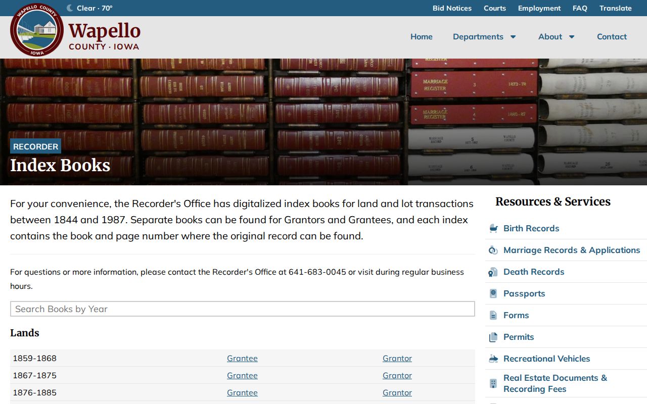
Search both party directions and overlapping land, lot, and miscellaneous blocks. Copy the name, series, date span, instrument type, book/page, and legal fragment. The index is a pointer, not the deed. It cannot prove that a party lived at the street address.
Read Ottumwa Streets as Printed
A 1933 Library of Congress telephone page uses forms such as “1608 E Main,” “221 N Benton,” “304 W 4,” and “119 N Washington.” It mixes residences, a grocery, and an inn. The label “Res” marks a residence listing. That makes the page a dated street clue, not a current roll.
No official citywide street-renumbering history was located. Compare directory issues, Sanborn plates, plats, legal descriptions, atlases, and current GIS before claiming that two numbers describe the same place. Preserve the printed form, then check OCR against the page image. Collection details belong on the Ottumwa Directory Book page.
Note: An omitted listing may reflect the issue’s scope or weak OCR, so it does not prove that an address was absent.
Ottumwa Street Permits and Plans
The Ottumwa Building and Code Enforcement office routes permits, inspections, demolition, nuisance work, monthly permit reports, and iWorQ. Exact public fields were not captured, so request the file when the online view does not expose the needed address, parcel, date, applicant role, or action.
Planning and zoning add land-use and historic context. They do not name occupants. A permit can date work, while a demolition or nuisance file may explain why an address drops from later records. Building and Code uses 641-683-0650; Planning uses 641-683-0606. A narrow request should state the address, parcel, record series, date span, and format.
Keep the role attached to every name in a city file. A permit applicant may be an owner, contractor, designer, or agent. A return address may belong to a firm. Monthly reports can help identify a likely month, yet the underlying permit or inspection file is the better source for the action itself. City council minutes and posted notices may explain a public street event, but they should not be treated as a private household roll.
Ottumwa Street Offices Together
The Des Moines River, downtown Main Street, and railroad corridors help explain Ottumwa’s address history. Today, four county stops sit at 101 W 4th Street. They share a courthouse complex, but not custody. Assessor questions use 641-683-0085. GIS uses 641-683-0017. Auditor real estate uses 641-683-0014. The Recorder uses 641-683-0045 and is on the second floor.
Assessor
Values, class, traits, credits, sales and current parcel leads.
GIS
Map layers, parcel geometry, roads and boundary context.
Auditor
Plats, transfers, deed proofing and parcel files.
Recorder
Deeds, contracts, liens, plats and index pointers.
Hours are generally weekdays from 8:00 a.m. to 4:30 p.m., but check before travel. One trip can move a street query across the chain without confusing which office controls each answer.
Ottumwa Street and ZIP Layers
Ottumwa’s identified mailing ZIP is 52501, but a ZIP is not a parcel or city boundary. USPS standardizes delivery lines. The Census ZCTA is a statistical approximation. Wapello GIS and city zoning answer other geographic questions. The post office at 616 W 2nd Street has its own ZIP+4, which must not be applied to other addresses.
Retain the USPS line, Assessor situs, legal description, and historic form as separate values. Nearby communities in the Ottumwa routing hub keep their own place names. If layers disagree, ask USPS about delivery, GIS or Planning about boundaries, and the Auditor or Recorder about the parcel.
A historic directory may use an Ottumwa post-town label for a route that does not match today’s legal city line. Keep that label in the citation. Then compare it with the current USPS response, county parcel layer, and any dated plat or city map. The Census ZCTA can support a statistical comparison, but it cannot establish who occupies a home, which precinct serves it, or whether the lot lies within a zoning district. An exact address check is always the stronger next step.
Limits of Ottumwa Street Lookup
Official address records do not form a household roster. A recorded owner may live elsewhere. A phone entry may name a subscriber or business. Iowa’s voter lookup requires a known person’s name, ZIP, house number, and full birth date; it is not a street-browse tool. Full voter-list access has restricted purposes under Iowa Code section 48A.40, and protected identifiers are withheld.
Safe at Home and Protect Our Protectors can shield eligible addresses. Respect those controls. For a missing public record, use the right custodian and Iowa Code chapter 22 with a narrow request. Never use repeated guesses to bypass a privacy limit.
Lawful use. Ottumwa address records support family research, parcel questions, civic review, and scam checks. Never use them to stalk, harass, intimidate, or harm anyone.