
Ottumwa ZIP Directory Coverage
The official source trail identifies 52501 as the target mailing ZIP for Ottumwa. The Census also publishes a 52501 ZIP Code Tabulation Area, or ZCTA, for statistics. Those labels are related, but they are not interchangeable boundaries. USPS defines delivery and routing. The Census draws a statistical approximation. Wapello County GIS and Ottumwa planning records answer parcel and municipal questions. No second ZIP was confirmed as city-proper coverage, so this Ottumwa ZIP code directory does not assign nearby postal towns to the city.
| ZIP | Documented Ottumwa role | Postal point | Boundary note |
|---|---|---|---|
| 52501 | Ottumwa mailing ZIP and Census ZCTA identified in the research | Ottumwa Post Office, 616 W 2nd St | Not the same as city limits or parcel lines |
The USPS Ottumwa Post Office result displays 52501-2302 for the postal facility itself. That full code belongs to that address, not to every home or business. The successful manifest capture below comes from the official USPS ZIP Code Lookup.
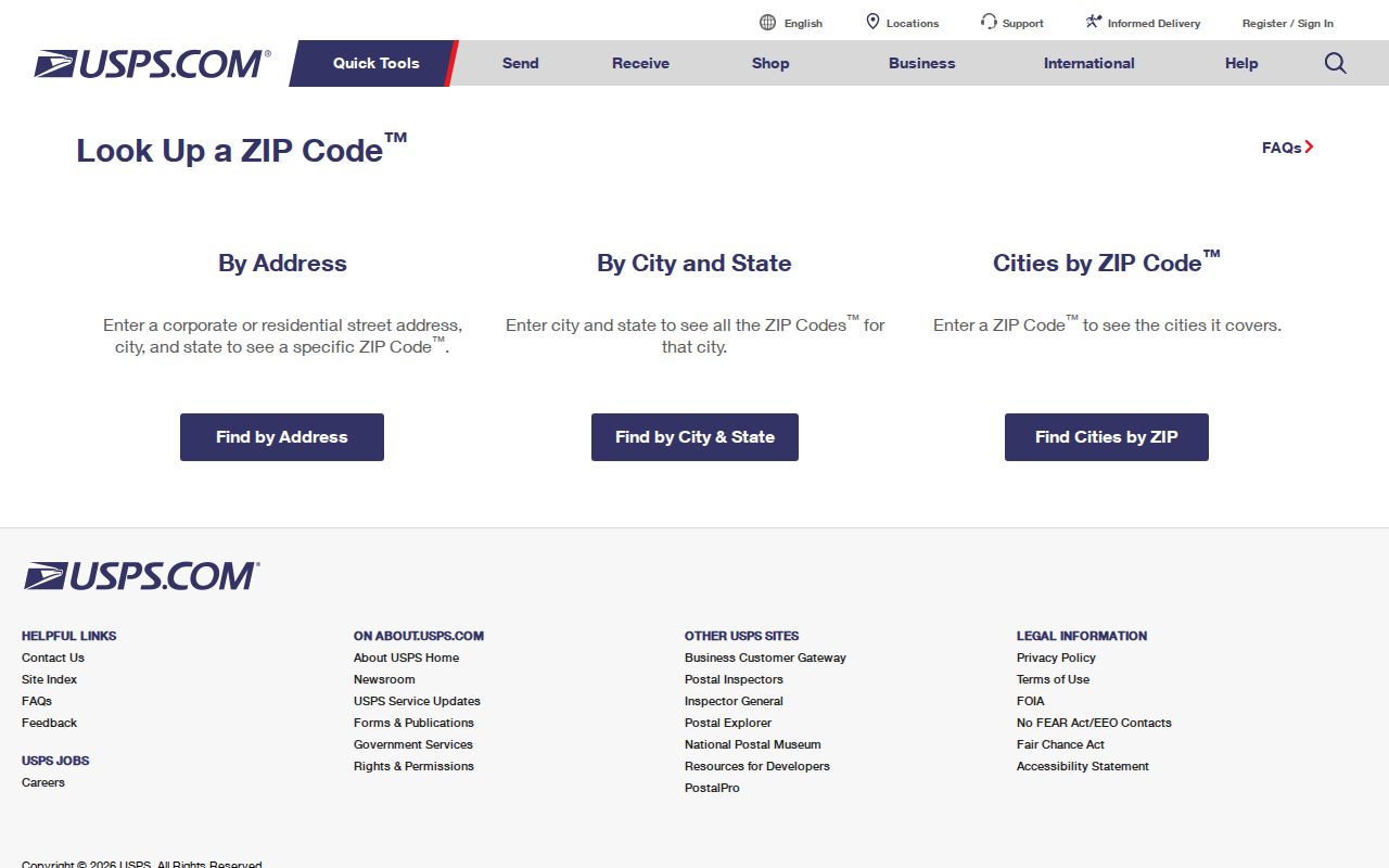
The postal search is the right first check for a mailing line. It is not a resident list, parcel map, or occupancy record.
Why Ottumwa Uses 52501
USPS materials label 52501 as Ottumwa, while the Census profile offers a matching ZCTA for demographic comparisons. Nearby codes in postal routing material may travel through an Ottumwa hub, yet that relationship does not turn Agency, Beacon, Birmingham, Chillicothe, Douds, Eddyville, or another community into part of Ottumwa. Use the place name returned for the exact address. Do not replace it with a hub name.
This distinction helps with family history. An old directory may use a post-town or rural delivery label that differs from today’s legal municipality. Preserve the historic wording, verify the current mailing form through USPS, and locate the land through county GIS. Each label records a different fact.
Note: No official Ottumwa ZIP split or realignment date was confirmed, so routing updates should not be presented as a local boundary change.
Search Ottumwa ZIP Records
The USPS tool supports three useful search modes. Choose the one that matches what you know, and retain the submitted value with the result date. USPS warns that finding a ZIP does not prove that a person or company is at the address.
| USPS mode | Input | Useful result | Cannot prove |
|---|---|---|---|
| By address | Street, city and state | Standard mailing line and ZIP+4 | Occupant or owner |
| By city/state | City and state | ZIPs linked to a place name | City-limit coverage |
| By ZIP | Five-digit ZIP | Postal city names | Parcel, precinct, or school area |
For one street line, the by-address result is strongest. Save whether the output is a standardized address, post-office location, city list, or ZIP-to-city list. That note prevents a broad result from being mistaken for a verified address.
Find Ottumwa Residents by ZIP
A ZIP is a narrowing field, not a stand-alone directory. The official Iowa voter tool accepts a ZIP as one part of an identity check. Local parcel systems connect a known address to a parcel, though the research did not confirm a ZIP-wide filter behind the Assessor consent screen or in the blocked Beacon viewer. A sound ZIP code directory workflow moves from postal verification to an exact address and then to the right custodian.
- Verify the street line and ZIP with USPS. Keep that result separate from any claim about who lives there.
- Open Wapello County Real Estate Mapping or the Assessor record for the address. Note the parcel ID and situs.
- Choose the record source. Property records address ownership, while voter lookup checks one known person’s status.
- If the ZIP narrows the search to a road, use the Ottumwa street directory for address-level work.
Do not report a negative ZIP-wide result when a portal does not expose a confirmed ZIP filter. Search the exact address or contact the custodian.
Ottumwa ZIP Voter Limits
The Iowa voter lookup asks for first name, last name, ZIP, house number, and full date of birth. It checks status and polling information for a known voter. It does not browse everyone in 52501. The manifest image shows the official lookup.
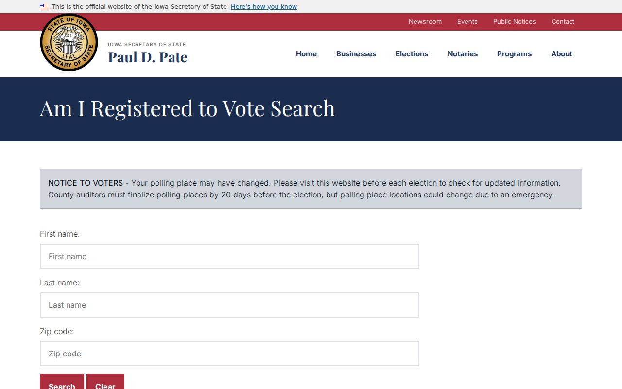
The required fields show why ZIP alone cannot confirm an Ottumwa resident. Questions go to the Wapello County Auditor at 641-683-0020. Full-list access is limited by Iowa Code section 48A.40, removes protected ID fields, and is not a shortcut to a ZIP resident roll.
Pair Ottumwa ZIP and Parcels
After USPS confirms the mailing ZIP, the Wapello County Assessor Real Estate Search can supply the current property layer, subject to its consent screen. The manifest image shows that official entry point.
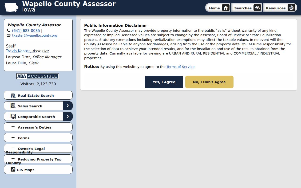
Keep the situs, or physical parcel address, separate from the owner’s mailing address. An out-of-city mailing line may belong to the taxpayer while the parcel sits in Ottumwa. Assessed value is not a deed, and a county map is not a survey. Value questions go to the Assessor; legal-description and ownership-transfer questions go to the Auditor or Recorder.
Three-layer check. Use USPS for delivery geography, Census for ZCTA statistics, and Wapello records for parcel and city-boundary facts.
Ottumwa ZIP and City Limits
A ZIP can cross a municipality, and a city edge can include addresses handled under another postal place. A ZCTA is the Census Bureau’s statistical approximation of ZIP geography. Neither establishes a legal city line. For an exact Ottumwa address, compare USPS with municipal-boundary and parcel layers from Wapello GIS. City Planning answers zoning questions, while the Auditor and Recorder hold plats, transfers, and recorded documents.
- ZIP and ZIP+4
- A ZIP is the five-digit delivery area. ZIP+4 adds an address-specific routing segment and can change.
- PO-box ZIP
- A code assigned to box delivery rather than a broad street-delivery area.
- Unique ZIP
- A code for one large recipient. None was confirmed for Ottumwa.
- Carrier route
- A postal delivery path within a ZIP, not a neighborhood or legal district.
No official list of Ottumwa enclaves, school areas, or unincorporated pockets keyed to 52501 was found. Do not infer one from a ZCTA or postal label.
Ottumwa ZIP Geography Downtown
Ottumwa’s postal, civic, and historic layers sit close together. The post office result is at 616 W 2nd Street. The courthouse cluster at 101 W 4th Street houses separate Recorder, Auditor, Assessor, GIS, and court functions. Downtown Main Street forms another corridor shaped by river and rail. Each serves a different records task within the documented 52501 setting.
The Main Street Ottumwa directory covers downtown organizations and businesses, not citywide households. Its successful manifest screenshot illustrates that district layer.

A downtown district name must stay distinct from the mailing ZIP, city boundary, and parcel map.
Correct an Ottumwa ZIP Record
Send a current mailing error to USPS or ask the local post office for the standard address. City Planning and Wapello GIS can address a city-line or mapping issue. The Assessor handles property traits and value. The Auditor and Recorder handle plats, transfers, legal descriptions, and deeds. Historic differences belong with the Ottumwa Public Library, State Historical Society, or the holder of the dated plat or notice.
A narrow request works best. Include the street line, returned postal label, source date, parcel number if known, and exact record sought. Ottumwa’s city request form and Wapello County’s records form are fallbacks when a needed map is not online. Keep each returned geography in its own field.
Choose the channel by the kind of error. USPS offers online address and city-state searches, help through 1-800-ASK-USPS, and service through the local post office. Ottumwa Planning and Development can address city zoning and municipal map context at 641-683-0606. Wapello GIS accepts mapping questions by phone at 641-683-0017 and by email at rcorder@wapellocounty.org. The Auditor, Recorder, and Assessor also provide counter service at the Wapello County Courthouse. Their separate duties matter even though they share the same building.
A historic mismatch needs dated evidence. Ask the library or State Historical Society for the atlas, directory, newspaper, or Sanborn map that matches the year. Ask the Auditor for a plat or transfer record when a lot description is the key. Ask the Recorder for a specified book and page when a recorded document controls. The research found Ottumwa Sanborn sets for 1885, 1891, 1897, 1902, 1909, and 1917, but those maps describe buildings and blocks, not postal delivery codes.
Record the answer without forcing the labels to agree. One line can show the USPS city and ZIP, another the Census ZCTA, another the municipality, and another the Wapello parcel ID. This also protects nearby communities from being mislabeled as Ottumwa simply because a postal route uses the city as a hub. If the custodian says no responsive record exists, preserve that response as a gap rather than inventing a boundary history.
Note: ZIP 52501 narrows an Ottumwa search, but it never proves a person, parcel, precinct, or legal boundary by itself.